The Grand Canyon is one of the seven natural wonders of the world, and it’s easy to understand why, when you’re standing on the rim of this sunset-hued gorge, a mile deep and 2 billion years in the making. Here, we detail the best Grand Canyon South Rim hikes for every age and skill level.
Note: always check current park conditions ahead of your trip, for the most up-to-date information.
Jump to:
- Overview and Safety Information
- Easy Hikes Along the South Rim
- Moderate Hikes Along the South Rim
- Hard Hikes Along the South Rim
Overview and Safety Information
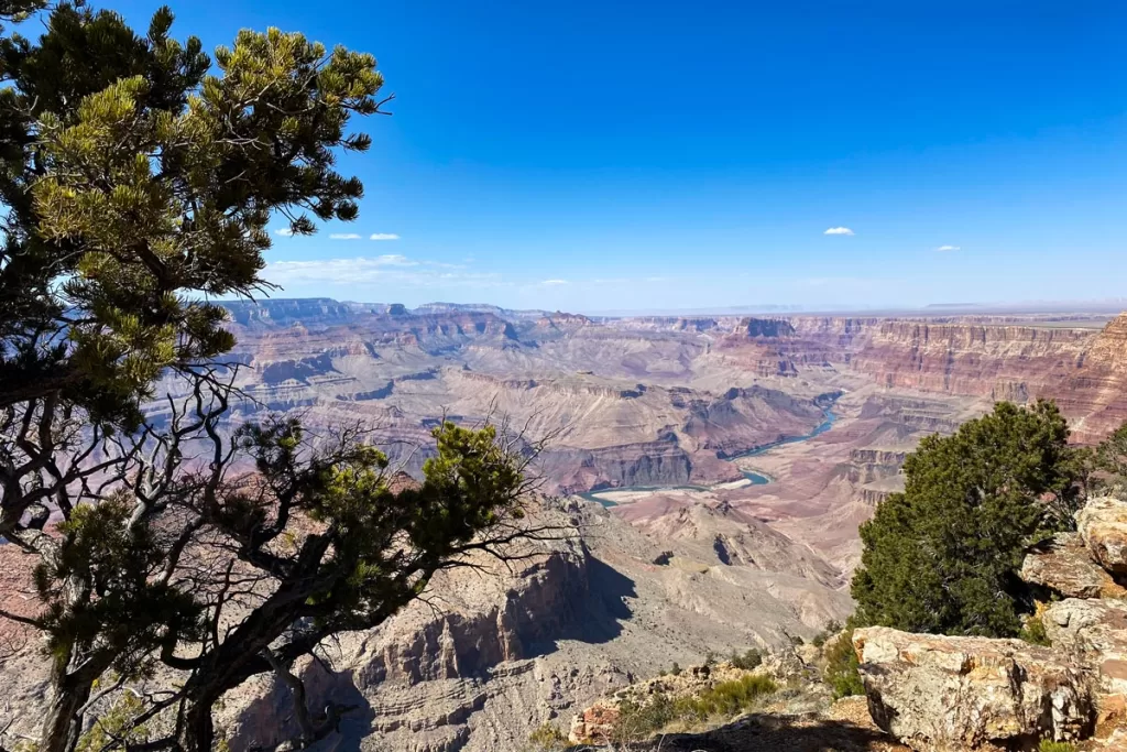
The Grand Canyon is different from other national parks, in that all activities are centered around one giant focal point (the canyon itself). The topographic nature of any canyon, especially of this magnitude, limits the amount of variety you’ll see along the trail.
The park is divided into the South Rim and North Rim. The South Rim is the most heavily populated side, accounting for 90% of all visitors. The North Rim, which has a different and much harsher climate, is closed from mid-December to May each year due to inclement conditions.
Along the South Rim, trails crisscross the canyon rims and walls, offering numerous iterations of the same general views. However, some people start to find the familiarity monotonous, as they traverse the canyon, always looking towards the same direction.
Our advice? Choose a few hikes with different starting trailheads, to provide a more comprehensive insight into the vastness of this geological marvel.
Transportation
There is limited parking at most trailheads, and none at the South Kaibab trailhead.
Plan to park near one of the visitor centers, and either walk or catch a free park shuttle to your respective trailhead.
Safety Notes
While it seems obvious, the Grand Canyon sits in arid desert, and many people underestimate the safety precautions that need to be taken in such a harsh and unforgiving landscape.
Temperatures
Temperatures swing widely in the desert, with extremely chilled mornings and evenings, that rise to sweltering midday temps.
Dress accordingly, with loose layers that can be added or removed, along with a jacket or windbreaker.
Water
Once you start your hike, there is no water available. Always bring more water than you think you’ll need.
As a general rule of thumb, we aim for 1 liter (32 ounces) of water for every hour (or 3 miles) we plan to be out.
Animals
There are six different species of rattlesnakes in the Grand Canyon, along with other snake species and even the venomous glia monster lizard. Always watch your step while hiking – particularly when stepping over a rock, where you can’t see the back side – as these coldblooded animals enjoy warming themselves in the heat of the open trail.
Never feed animals, as they will become aggressive and dependent on human food. This is especially true of the Grand Canyon squirrels, which ironically account for more local emergency room visits than any other animal in the park. Besides being extremely aggressive about obtaining food, they also have the ability to carry diseases like the plague.
Easy Hikes Along the South Rim
South Kaibab Trail to Ooh Aah Point
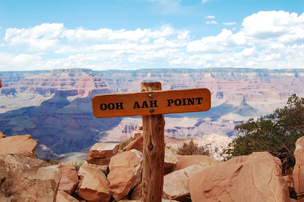
Distance: 1.8 miles roundtrip
Elevation Gain: 685 feet
Trailhead: South Kaibab (directions. No parking available; plan to take the orange line shuttle from the visitor’s center)
The South Kaibab Trailhead is the starting point for many of the most popular trails along the South Rim’s eastern edge. Here, you’ll enjoy a quick jaunt out to the whimsically named Ooh Aah Point.
The path is a mix of stone steps and dirt trail, making it an easy walk out to a viewpoint that elicits oohs and aahs.
Yavapai Point
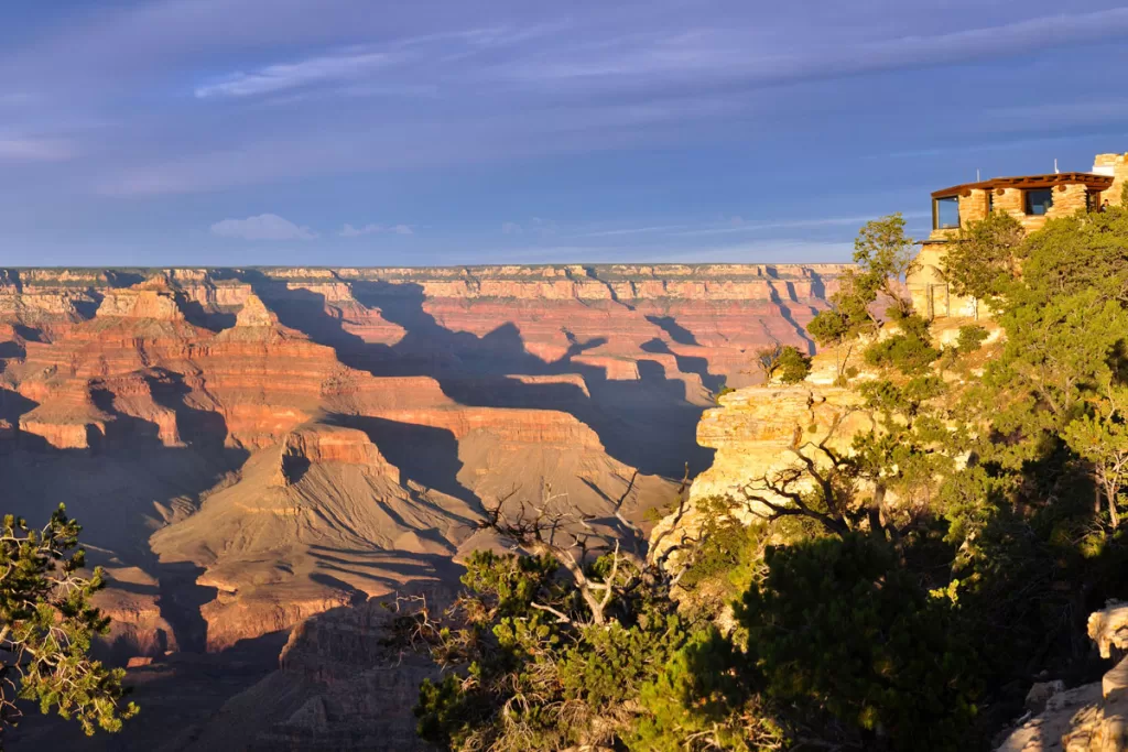
Distance: 1.7 miles roundtrip
Elevation Gain: 82 feet
Trailhead: parking lot at Yavapai Viewpoint Road (directions)
To experience an easy stretch of the park’s famed Rim Trail, head to Yavapai Point, which is one of the Grand Canyon’s more iconic vistas. Most of the trail is flat along paved asphalt, making it an easy hike for all ages and ability levels.
Along the way, you’ll be able to spot famous landmarks like Phantom Ranch, along with the dramatic panoramas that are ever-present along the Grand Canyon.
Mather Point
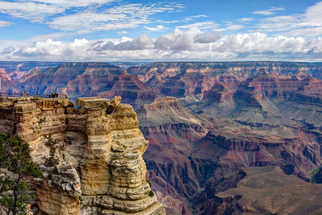
Distance: 0.6 miles roundtrip
Elevation Gain: 13 feet
Trailhead: Grand Canyon Visitor Center (directions)
Along with Yavapai Point above, Mather is the other iconic vantage point along the Grand Canyon’s stately South Rim. From the visitor center, it’s a short stroll along the paved walkway to sublime views that stretch for miles.
Moderate Hikes Along the South Rim
South Kaibab Trail to Cedar Ridge
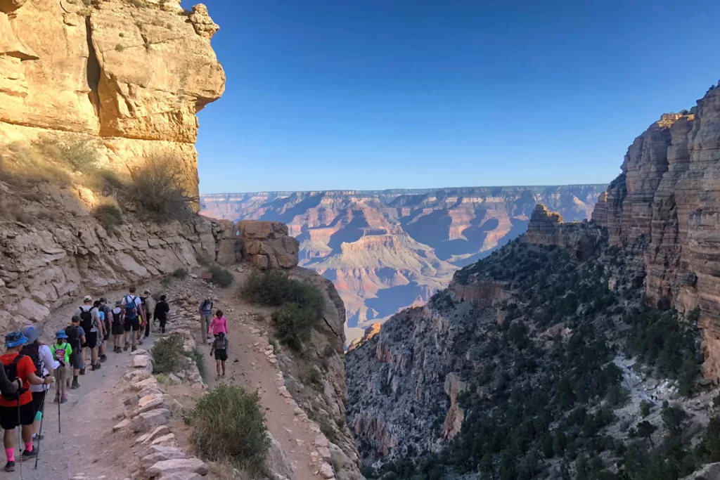
Distance: 3.1 miles roundtrip
Elevation Gain: 1,180 feet
Trailhead: South Kaibab (directions. No parking available; plan to take the orange line shuttle from the visitor’s center)
Despite the relatively brief mileage, we consider this a “moderate” hike for the steep elevation gain within such a short distance.
You’ll begin with a series of switchbacks, before dropping down to Ooh Aah Point. From there, continue along the ridgeline before hitting more switchbacks ahead of Cedar Ridge.
Cedar Ridge is a mule-hitching post, and offers up spectacular canyon views that are worth the hike. Just remember the elevation gain is on the way back, and plan (both your timing and water supply) accordingly.
South Kaibab Trail to Skeleton Point
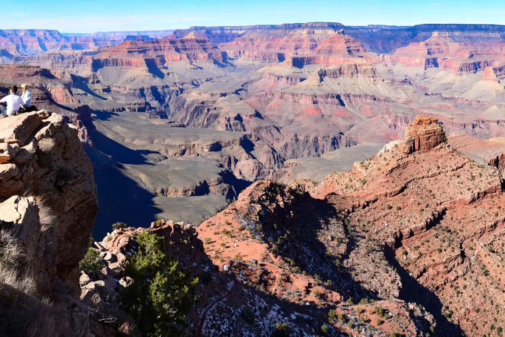
Distance: 5.8 miles roundtrip
Elevation Gain: 2,000 feet
Trailhead: South Kaibab (directions. No parking available; plan to take the orange line shuttle from the visitor’s center)
For those who desire more mileage than Cedar Ridge (above), this option begins along the same route. However, once you reach Cedar Ridge, you’ll push on further into the heart of the canyon, for even more vantage points (and blistering elevation gain on the return).
Bright Angel Trail to 3-Mile Resthouse
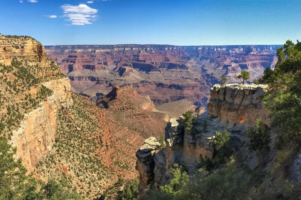
Distance: 6.1 miles roundtrip
Elevation Gain: 2,100 feet
Trailhead: Bright Angel (directions; there are a couple small parking lots in the vicinity, including Verkamp’s Visitor Center, or you can take the park shuttle’s blue line)
Across the South Rim from South Kaibab sits Bright Angel, the other primary jumping off point for numerous trails. From the rim, the dirt path snakes back and forth, down the canyon walls, with stunning views stretching for miles.
Along the way, you’ll have plenty of switchbacks, and even some sets of stone stairs (which provide a good burn on the way back up).
There are multiple stops along Bright Angel Trail, with 1.5-Mile Resthouse being a shorter turnaround point, while others prefer to continue further to landmarks like Havasupai Gardens or Plateau Point.
However, we’ve found 3-Mile Resthouse to be a happy medium: just enough mileage to feel a sense of accomplishment, without turning into an all-day trek.
Rim Trail: Mather Point to Bright Angel
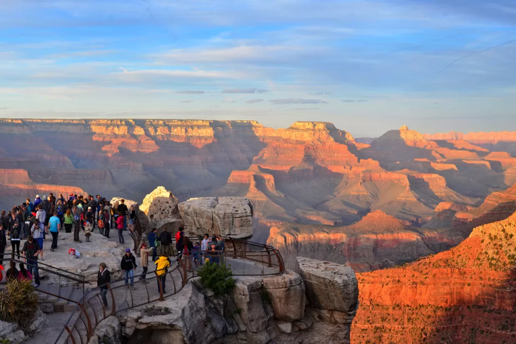
Distance: 6 miles
Elevation Gain: 410 feet
Trailhead: Grand Canyon Visitor Center (directions)
For those who want some mileage without too much elevation gain, this portion of the larger Rim Trail hits all the main highlights.
You’ll begin at Mather Point, one of the most iconic overlooks along the South Rim, before continuing along the paved path to visit Yavapai Point (the other primary viewpoint) and concluding at the Bright Angel Trailhead.
From here, it’s back the way you came, but if you want to duck out early, you can catch a shuttle back to your car from the Verkamp’s Visitor Center.
Hard Hikes Along the South Rim
Grand Canyon Rim Trail
Distance: 12.7 miles (one way)
Elevation Gain: 580 feet
Trailhead: South Kaibab (directions. No parking available; plan to take the orange line shuttle from the visitor’s center)
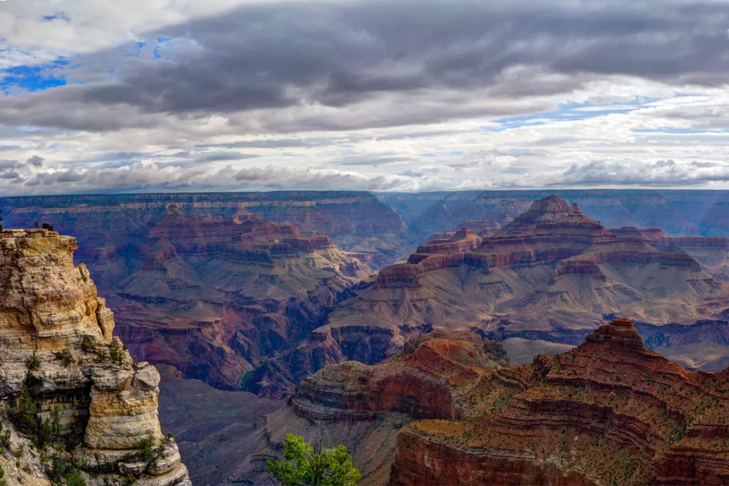
The Rim Trail provides a comprehensive view of the Grand Canyon’s expanse, as it hugs the dramatic ridge for nearly 13 miles in one direction. Along the way, it passes all of the South Rim’s most iconic viewpoints, along with both the Grand Canyon and Verkamp’s visitor centers.
Most of the trail is flat and paved, so while it boasts decent mileage, your legs won’t be screaming like some of the park’s other famous hikes.
To hike the entirety of the Rim Trail, you’ll begin on the eastern edge, at South Kaibab Trailhead. By the time you reach Pima Point, towards the western end of the trail, you’ll be rewarded with sweeping panoramas stretching over 40 miles. The sight of these vermillion and ochre cliffs, carved over 2 billions years, is enough to make anyone feel small.
Upon completion of the Rim Trail, catch the free park shuttle back to your vehicle.
Note: the red line shuttle along Hermit Road is open from March 1 – Nov. 30. If hiking during the off season, plan to end at Bright Angel Trailhead, the last stop along the blue line.
South Kaibab to Phantom Ranch
Distance: 14.3 miles roundtrip
Elevation Gain: 4,900 feet
Trailhead: South Kaibab (directions. No parking available; plan to take the orange line shuttle from the visitor’s center)
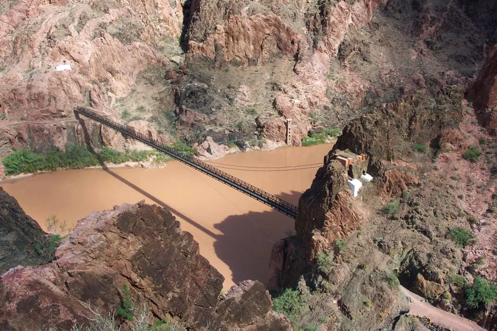
If you continue along the South Kaibab trail (past all the shorter iterations listed above), your route will eventually lead you all the way down to the canyon floor and the rushing Colorado River.
Just beyond the river is the historic Phantom Ranch, tucked into the base of the mighty Grand Canyon. Phantom Ranch is the focal point of this trail, and one of the primary reasons this ranks among the best of the longer Grand Canyon South Rim hikes.
Built in the 1920s, Phantom Ranch is the only lodging below the canyon rim, and is only accessible by foot, mule, or rafting the river. The result is a truly unique experience, as the vast canyon walls rise nearly a mile tall, on all sides of you.
Due to the desert heat, it’s strongly recommended to break up this hike into two days, with an overnight stay at the historic hotel. Lodgings are simple, consisting of small cabins and dormitories, and reservations are required. You can book up to 15 months in advance here.
Bright Angel Trail
Distance: 15.8 miles roundtrip
Elevation Gain: 4,500 feet
Trailhead: (directions; there are a couple small parking lots in the vicinity, including Verkamp’s Visitor Center, or you can take the park shuttle’s blue line)
While there are multiple shorter iterations of the Bright Angel out-and-back, the full trail is one of the South Rim’s more popular hard hikes.
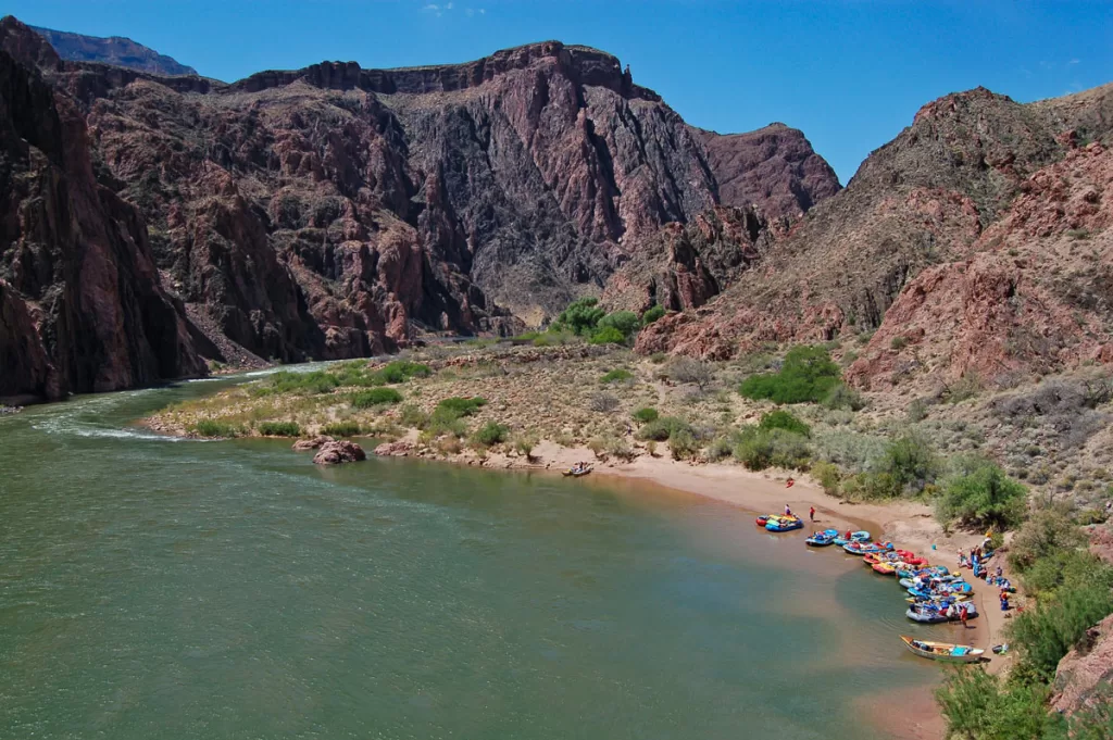
You’ll descend all the way down to the canyon floor, when you can dip your toes in the Colorado River and explore the historic Phantom Ranch.
While the roundtrip mileage isn’t too long, the blistering desert conditions can make it much more grueling than it appears. As with the South Kaibab trail, it is strongly recommended to break this hike into multiple days, with an overnight at Phantom Ranch. Advanced reservations are required, and can be booked up to 15 months out.
