Between verdant valleys and dramatic mountain peaks, hiking in Aosta Valley is outdoor nirvana. Here, trails wind through thick conifer forests and jaw-dropping Alpine vistas – creating scenery so stunning, friends back home will think you doctored your photos.
And while it could take a lifetime to explore every trail in this picturesque corner of Italy, this guide spotlights some of the best short, medium, and hard hikes throughout the region.
To help you best plan your itinerary, hikes have been labeled with the nearest population center, including Breuil-Cervinia, Cogne, and Courmayeur.
Jump to:
- Hiking in Aosta Valley: Overview and What to Know
- Best Easy Hikes in Aosta Valley
- Best Moderate Hikes in Aosta Valley
- Best Hard Hikes in Aosta Valley
Hiking in Aosta Valley: Overview and What to Know
Aosta Valley sits in the far northwestern corner of Italy, along the borders of both France and Switzerland.
Terrain and Elements
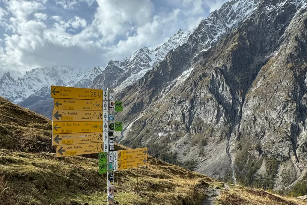
The current landscape was formed over millions of years, after the collision of tectonic plates was later refined by glaciers, erosion, and other geological events. The result of such a seismic creation is the dramatic scenery we’re lucky enough to witness today.
But that dramatic scenery also creates dramatic elevation changes. Ascents in the Alps are no joke, and hikers should be prepared for steep climbs within short distances.
Additionally, while many trails remain open year-round (converting to snowshoeing and cross-country skiing during the winter months), conditions can get icy and dangerous.
Always take precautions when venturing out in inclement weather, and never push yourself outside of your comfort zone.
Rifugi
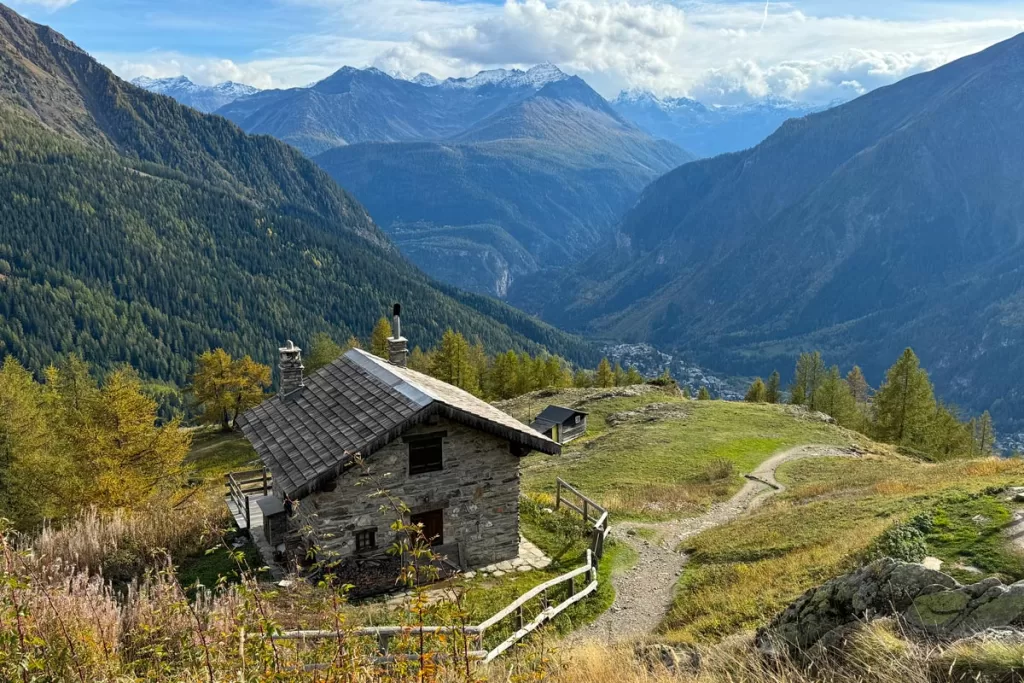
One of the things we love best about Alpine hiking is the rifugio culture.
Most trails are dotted with rifugi (the plural of rifugio). These shelters, interspersed at regular intervals, provide in-season lodging and amenities. Being able to rest, grab a bite to eat or a cool drink, and converse with fellow hikers is a small added pleasure.
Rifugio season typically runs from early June – early October, but varies based on the location. Most rifugi have an online presence to check operating dates and plan your trip.
Off season, the majority of shelters are closed but you can still enjoy their outdoor tables (and in some cases, freshwater pumps) for a brief respite along your hike.
Best Easy Hikes in Aosta Valley
Cappella Degli Alpini (Breuil-Cervinia), 2.4 km roundtrip
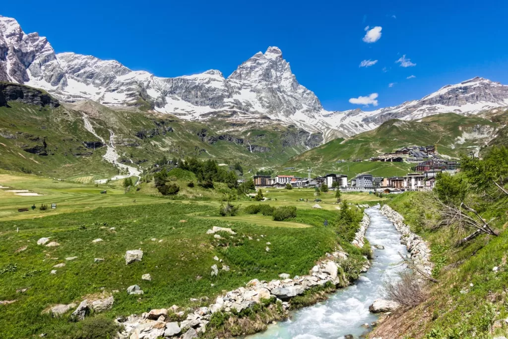
As one of the region’s best “bang for your buck” trails, Cappella Degli Alpini provides breathtaking views for a short distance and only 110 meters of ascent.
The hike culminates at Chiesetta degli Alpini, a rustic mountain lodge built for the Monte Cervinio Alpine Skiers Battalion.
The iconic Matterhorn towers over the surrounding ridges and peaks, creating dramatic vistas to admire from the on-site picnic benches. AllTrails link.
Lillaz Waterfalls (Cogne), 2.4 km roundtrip
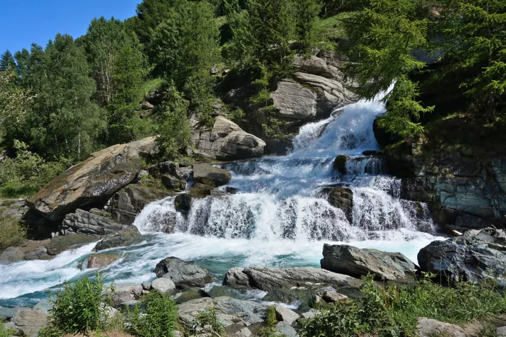
The Lillaz Waterfalls are one of the most popular destinations in Gran Paradiso National Park, with a series of three cascades totaling 150 meters.
Along the trek, you’ll also get stunning views of the surrounding valleys and Sengie glaciers. Raised walkways wrap around the falls, providing up-close viewpoints throughout.
This hike is accessible year-round, although the waterfalls put on the biggest show in summer, when icy snowmelt thunders down from the surrounding Alps. AllTrails link.
Valnontey Torrent Trail (Cogne), 7.5 km roundtrip
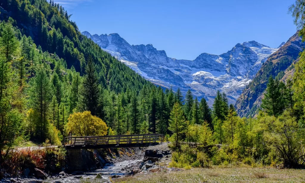
This gentle trail follows the picturesque Valnontey river through the valley to Valmianaz. While it’s a longer route, there is minimal incline (175 m), making it well-suited for families and more casual hikers.
Along the way, you’ll pass quaint hamlets and serene conifer groves (as well as multiple opportunities to cool your feet in the stream on a hot summer day).
You’ll also catch prime views of Gran Paradiso, the namesake mountain of Italy’s oldest national park. AllTrails link.
Colle San Carlo – Tête d’Arpy (Courmayeur), 2.6 km roundtrip
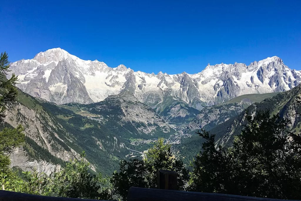
This pleasant stroll is perhaps the easiest hike on our list. Here, there are only 62 meters of elevation gain between you and a front row view of Mont Blanc.
Follow the dirt road behind Genzianella restaurant, before it winds upwards into wooded forest. Once you reach the ridge, Belvedere (on the left) provides dramatic Alpine panoramas, while Tête d’Arpy (on the right) has a wooden cross commemorating the two world wars.
There’s a pleasant picnic area and water fountain along the trail, if you want to extend your time. AllTrails link.
Mont Blanc Adventure Park (Courmayeur), 1–2 km
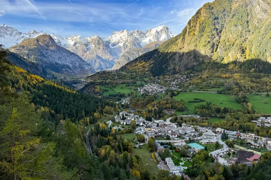
While not a hiking trail per se, this park still gets an honorable mention. It’s easy to create your own 1-2 km route along the numerous footpaths that accompany some truly epic views.
Between the park’s obstacle courses and rope bridges, you can wind among shaded forest and along sharp ridge lines.
Wherever you stroll, there are frequent outcroppings to stop and admire the expansive vistas. Most look out to tiny Pré-Saint-Didier, tucked into the valley floor beneath the towering the Mont Blanc massif.
Visit the Parco Avventura Mont Blanc website for more info.
Best Moderate Hikes in Aosta Valley
Crepin – Alpes Perreres – Paquier (Breuil-Cervinia), 8.4 km roundtrip
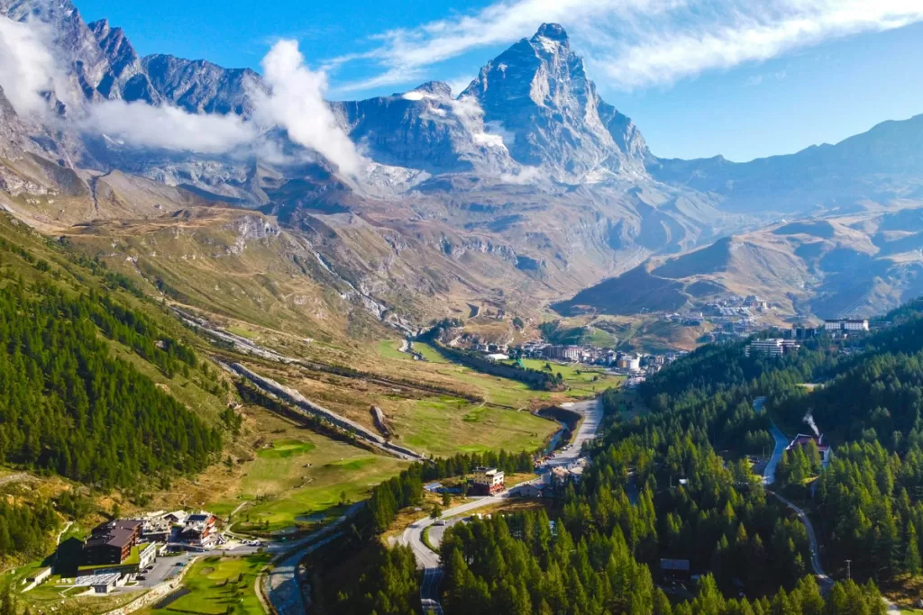
For those staying close to Breuil-Cervinia, this route provides an excellent overview of the surrounding countryside, including views of both the famous Matterhorn and the Grandes Murailles.
You’ll alternate between forested trails and vast Alpine meadows (where traditional stone huts and grazing cows create an iconic photo op).
The stone tunnel cut through the mountainside also provides an added sense of adventure, especially for children. Just make sure they’re old enough to handle the 400-meter elevation gain. AllTrails link.
Lago Blu (Breuil-Cervinia), 8 km roundtrip
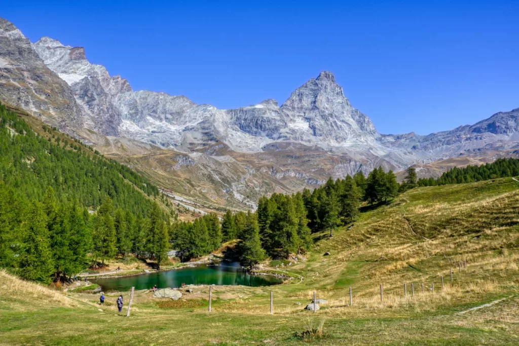
Lago Blu is one of the most popular photo spots in the Breuil-Cervinia area, famous for its otherworldly color and the sharp reflection of the Matterhorn on its brilliant blue surface.
While you can access Lago Blu from SR46, this 8-km loop makes a pleasant hike directly from Cervinia.
Just note that part of the route parallels paved street, so be sure to share the road wisely. Komoot link.
Lillaz Waterfalls – Lago Loie – Testa delle Goilles (Cogne), 11.4 km roundtrip
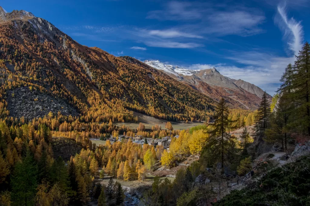
Although the Lillaz Waterfalls are already highlighted in easy hikes above, we’d be remiss if we didn’t include this longer loop as well. It’s one of the more popular trails in Gran Paradiso National Park, and offers a well-rounded tour of the natural beauty that Gran Paradiso is so famous for.
Wildlife are frequently spotted along the trail, giving you a good chance of also seeing the iconic ibex or chamois.
You’ll begin in tiny Lillaz, and immediately begin climbing to the Lillaz Waterfalls, a short 1 km into your hike. From here, you enter pristine Alpine forest, with more elevation between you and the Testa delle Goilles, the tallest peak on this trail.
You reach peak elevation at about 7 km, after which the last third of your hike has a steeper descent.
Along the downhill stretch you’ll come to Lago Loie, a remote Alpine lake with crystal waters that are heavenly to dip your toes in on a hot day. Enjoy the solitude here, before beginning the final push back to Lillaz. AllTrails link.
Note: this route is easily done in reverse, too. It’s a shorter, brutal climb to the top, but the reward is a gentler, extended descent. Especially worth considering for those with knee problems.
Vittorio Sella Hut (Cogne), 11.1 km roundtrip
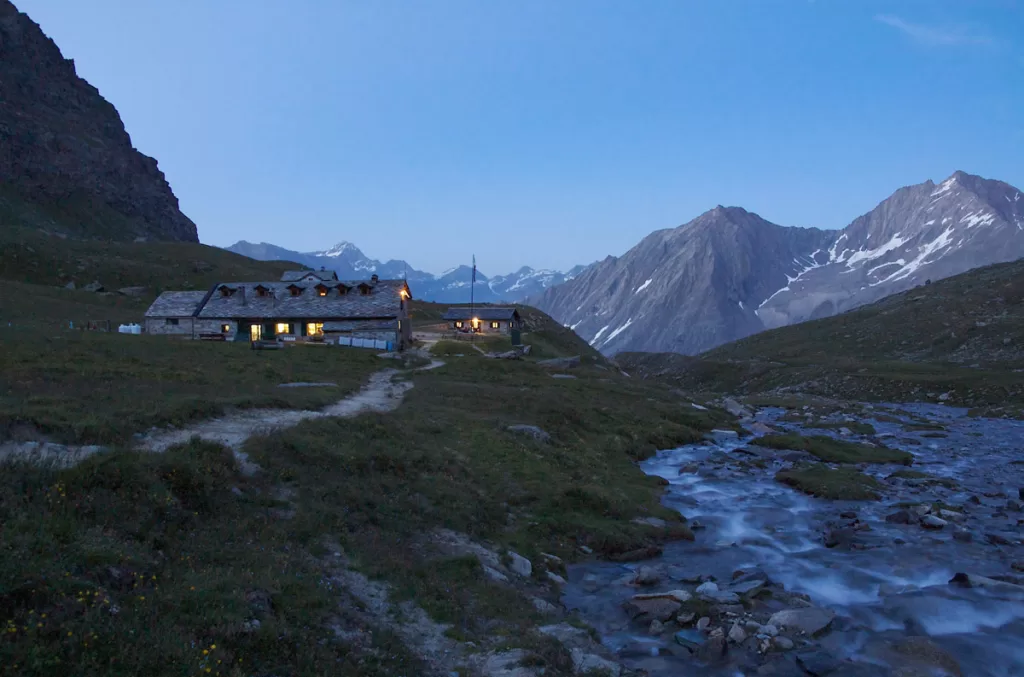
The Vittorio Sella Hut is one of the other most popular hikes in Gran Paradiso National Park, following an old hunting road belonging to King Vittorio Emanuele II.
The trail meanders along Valnontey stream, through tranquil forests and open meadows that become awash with wildflowers in the summer months.
You can still expect nearly 1,000 meters of elevation gain, but you’ll be rewarded with stunning views of the valleys below as you climb. Enjoy a respite at the refuge before returning back the way you came. AllTrails link.
Rifugio Bertone from Planpincieux (Courmayeur), 9.8 km
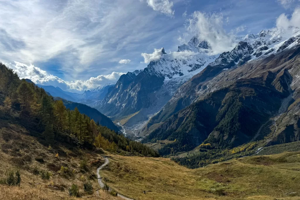
Bertone is the closest rifugio to the town of Courmayeur. The path to reach it winds through bucolic farmland and over gentle mountain streams, before accelerating the elevation gain.
Most of your climb (365 m) is completed within the first 3 km, as it snakes along an expansive hillside with dazzling views.
Afterwards, you’ll alternate between shaded groves and more panoramas, before reaching the idyllic Rifugio Bertone. The on-site water pump pours crisp mountain water; you can refill here, even if the rifugio is closed for the season.
From here, you can either return the way you came (for 9.8 km roundtrip) or continue on.
If you choose to continue on, the trail eventually connects with a forest road and descends into the town of Courmayeur for 16.6 km point-to-point. From here, you can use the free Courmayeur bus to return to your vehicle in Planpincieux. AllTrails link.
Rifugio Bonatti from Arnuova (Courmayeur), 11 km roundtrip
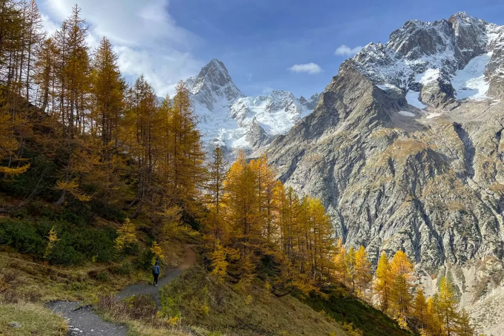
This stretch, which encompasses part of the Tour du Mont Blanc loop, is arguably our favorite trail for hiking in Aosta Valley.
The trail begins with a strenuous but quick ascent (250m in the first kilometer). After that, you’ll level out for the majority of the trek, with the footpath mildly undulating along dramatic ridge lines.
The distance to Rifugio Bonatti passes quickly, with scenery as jaw-dropping as this. Enjoy a respite at the rifugio, before returning the way you came. AllTrails link.
Rifugio Bonatti from Lavachey (Courmayeur), 5.3 km roundtrip
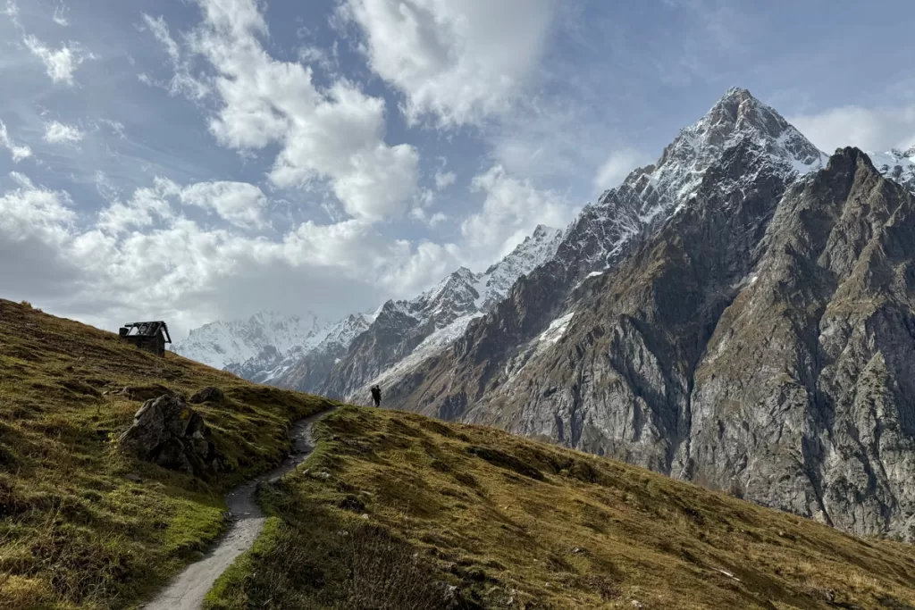
While our favorite access trail to Bonatti is the longer stretch from Arnuova (highlighted above), this loop from Lavachey gets you to the rifugio in half the distance.
While you can’t avoid the elevation gain, this stretch has a fairly measured, steady ascent. Most of the trail is shaded, as it winds upward through tranquil Alpine forest, before opening up to panoramic expanse just beneath the rifugio. AllTrails link.
Best Hard Hiking in Aosta Valley
Rifugio Teodulo (Breuil-Cervinia), 7.4 km point-to-point or 14.8 km roundtrip
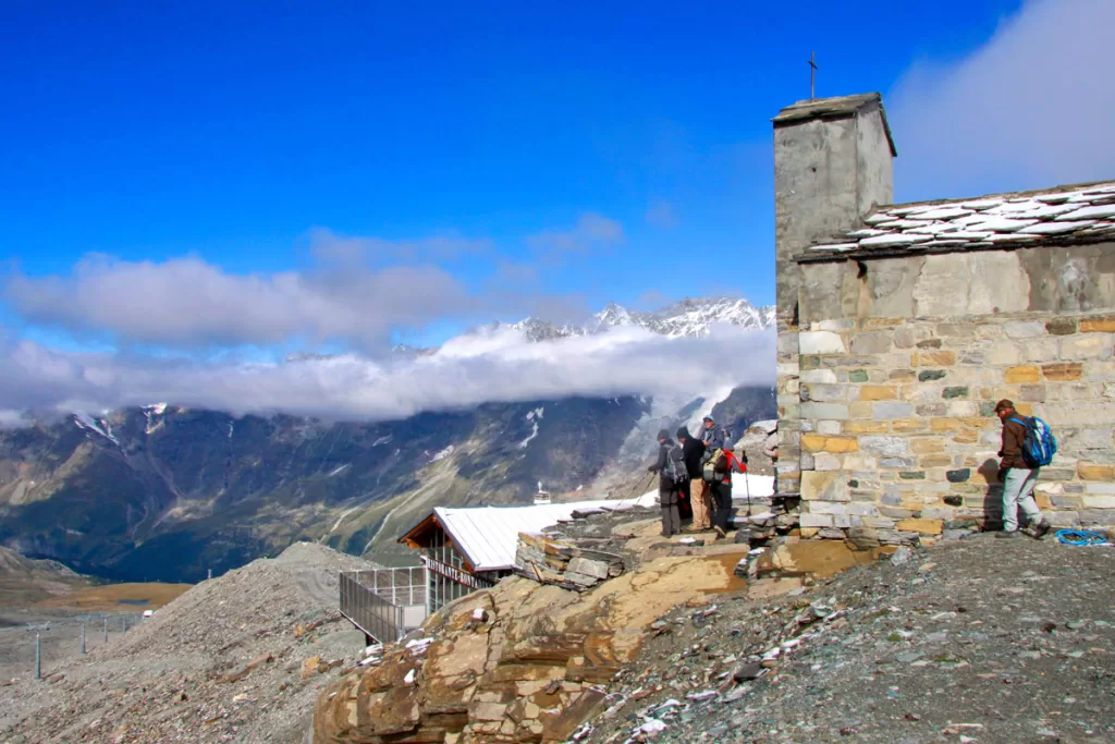
This blistering day hike is challenging any way you slice it, with 1,200 m elevation gain up to Rifugio Teodulo. Along the way, you’ll cross vast expanses along the ridges and glaciers of Monte Cervinio – better known outside of Italy as the Matterhorn.
Rifugio Teodulo is one of the oldest refuges in the Alps, dating back to 1852. And if you’re game to add an additional 1.25 km to your hike, continue on the Testa Grigia/Plateau Rosa cable car station. This is the official border crossing, and gives you the fun brag that you walked to Switzerland.
From here, you can either take the cable car back (making your hike 7.4 km total) or trek back the full roundtrip yourself. AllTrails link.
Anello Valnontey (Cogne), 20 km roundtrip
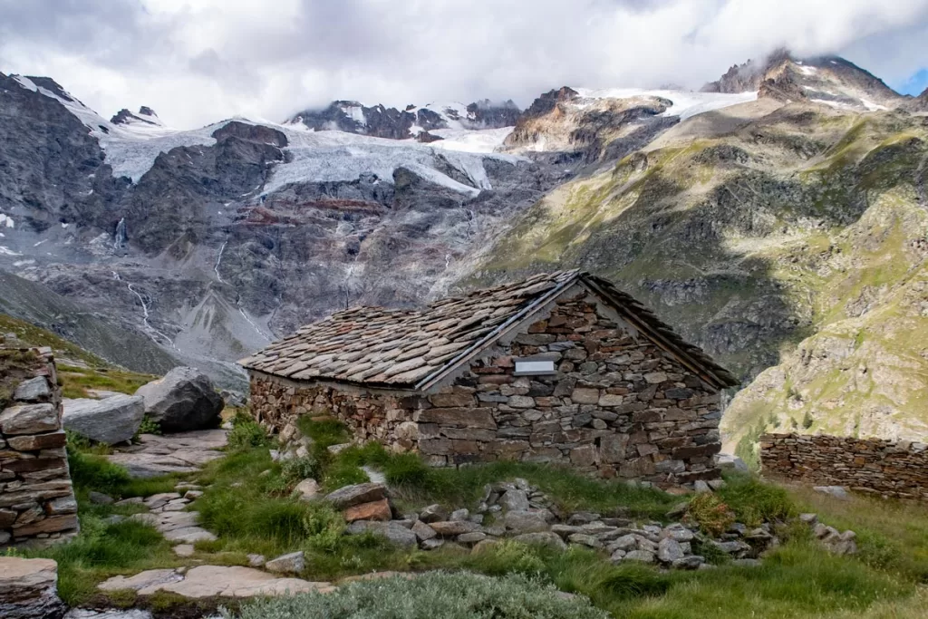
For those seeking a strenuous day hike in Gran Paradiso National Park, Anello Valnontey is one of the more popular options.
This route covers many of the national park’s top trail highlights, including the historic Vittorio Emanuele Rifugio and Laghetto di Lauson, a tiny lake perched dramatically on a high ridge, overlooking the snowcapped peaks beyond.
You’ll also pass the remote Casolari di Herbetet, a set of traditional mountain huts situated on a stark plain. It’s a fascinating peek into how some of the traditional inhabitants of Aosta Valley have lived off the land for centuries.
Expect 1,100 meters of elevation gain on this extended loop. AllTrails link.
Arnuova – La Fouly (Courmayeur), 14.3 km point-to-point
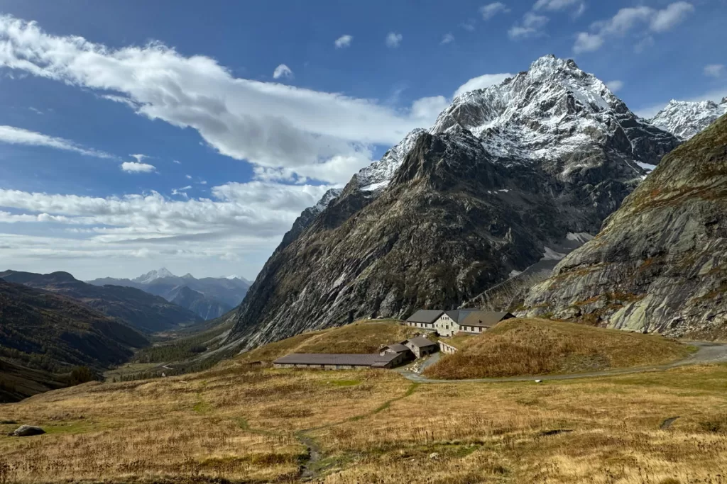
As with Rifugio Teodulo in Breuil-Cervinia, this route crosses the Swiss border for the unique claim that you walked to Switzerland. It is also part of the larger Tour du Mont Blanc, and trails crisscross back towards Rifugi Bonatti and Bertone if you prefer to create your own hybrid itinerary.
The path begins on the valley floor but quickly leaves it behind, with a steep incline up exposed hillside (there’s even a small waterfall that flows with seasonal rains). Don’t forget to look behind you frequently – the views back towards the valley are stunning.
One of the first notable markers you’ll reach is Rifugio Elena, perched on a stark ridge. It’s a pleasant spot to rest for a moment and take in the desolate beauty of the high Alps around you, before pushing up and over the next ridge beyond. This is your last bit of ascent – about 300 meters over 2.25 km.
Once you reach the Swiss border, the remaining 10 km of the trail is mostly downhill. AllTrails link.
Alternate route: rather than go point-to-point on this trail, we opted to create a roundtrip loop that included Rifugio Bonatti. We set off from Arnuova as far as the Swiss border, before retracing our steps back the way we started.
Once the trail drops into the valley, you can pick up the connecting path to Bonatti near Albergo Ristorante Chalet Val Ferret. The rest of the route is the same as highlighted in moderate hikes above.
Have more time to enjoy the Aosta Valley region? Explore our guides to the best things to do in Aosta Valley and how to spend winter in Aosta Valley.

3 comments
Now that I’ve looked again, your photo of Teodul pass is not actually Teodul Pass. It is Cappella Bontadini. roughly 300m below,
Thank you for the suggested hikes, though. The work is appreciated.
Hi Andreas, thank you so much – these are both very valid points! I suppose I was over-generalizing (which is never ideal :-P). I’ve corrected both captions to more accurately reflect the location. Appreciate you bringing it to my attention. Happy hiking!
Your first photo of rifugio bertone is not of the rifugio but a neighboring building