These moderate hikes in Yosemite National Park are just enough to get the blood pumping, while stopping short of summiting Half Dome (we saved that for our advanced list). Anyone in reasonable fitness (e.g. you can walk a few miles with incline) can complete these trails.
Having completed nearly all of Yosemite’s main trails over the years, below are our recommendations for the best intermediate treks in one of America’s most famous national parks.
Note: Yosemite requires reservations for entry at various points during the year, including February Firefall and summer peak season. Always check the current reservation requirements for the dates you plan to visit.
Jump to:
- Mist Trail (6.4 miles)
- Mirror Lake (4.4 miles)
- Middle Gaylor Lake (2.4 miles)
- Mariposa Grove Guardians Loop (6.5 miles)
- Sentinel Dome (2.2 – 5.1 miles)
- Tuolumne Grove (2.7 miles)
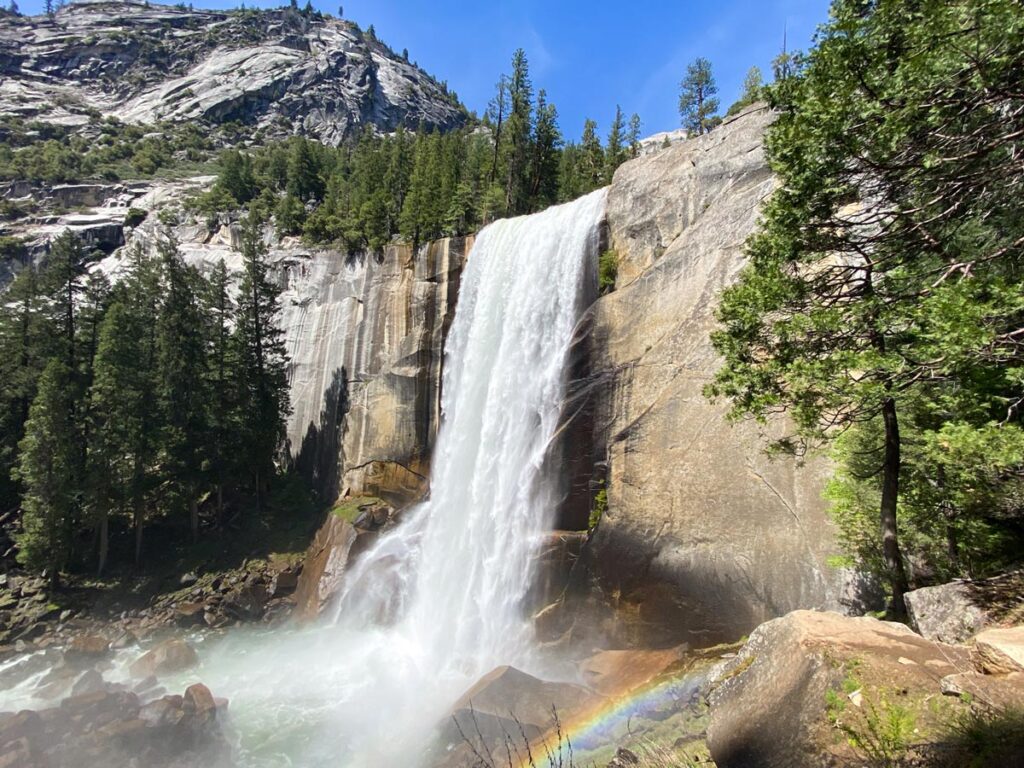
#1. Mist Trail
Distance: 6.4 miles
Elevation Gain: 2,200 ft.
Best Time to Go: year-round, assuming there is not heavy snow. Check local conditions at the time of your visit.
Trailhead: Directions. The Mist Trail is only accessible by foot. Park by Happy Isles/Curry Village, either along the road or in the parking lot. Follow the Mist Trail signs about 0.5 – 1 mile along the road, depending on where you parked.
One of the park’s most popular hikes, the Mist Trail gets you up close to two of Yosemite’s most famous waterfalls, Vernal and Nevada.
While the uphill gives even the more adventurous a workout, most people of varying fitness can make it up (we’ve even seen 80-year-old Grandma literally pushed up the trail with a hand to her back!).
You’ll reach Vernal Falls first, with Nevada Falls approximately 2 miles beyond it. Standing in the spray of the thundering cascade, it’s hard not to feel in awe of Mother Nature’s power (and appreciate the cooling mist as a just reward for your efforts).
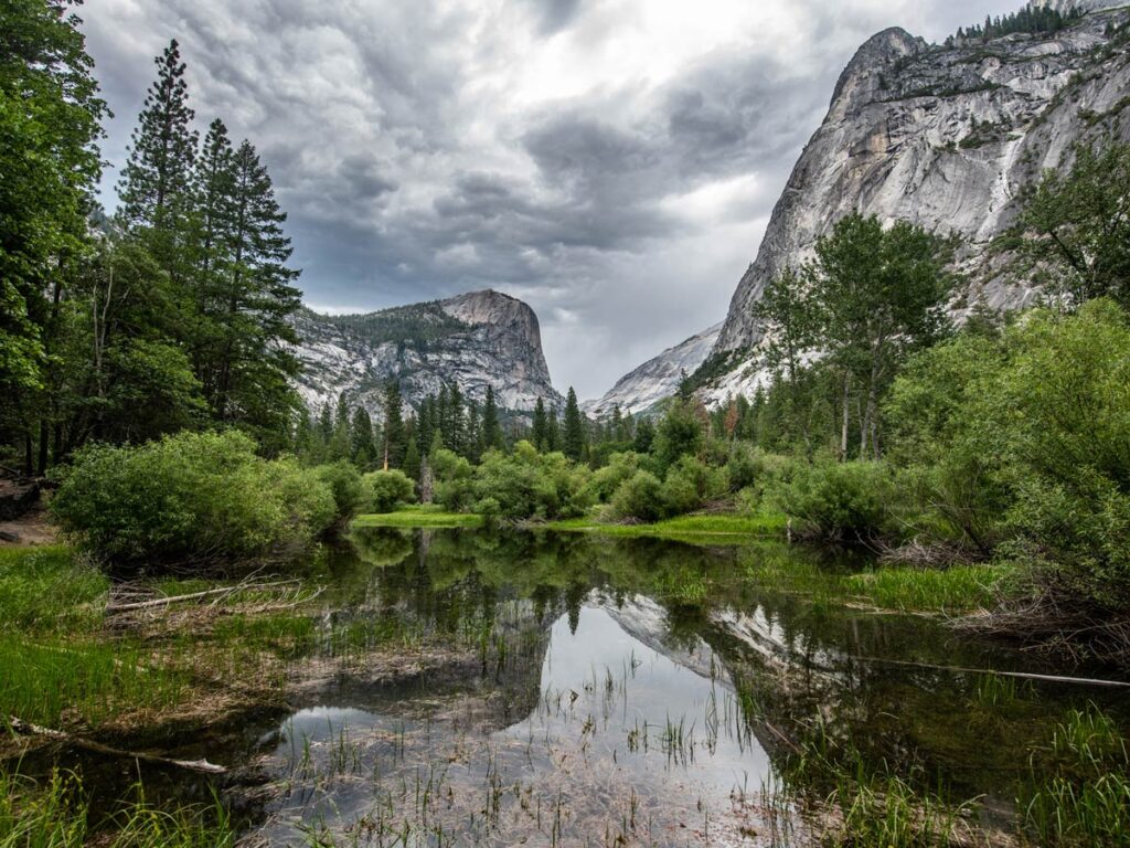
#2. Mirror Lake
Distance: 4.4 miles
Elevation Gain: 300 ft.
Best Time to Go: year-round, assuming there is not heavy snow. Check local conditions at the time of your visit.
Trailhead: Directions. The Mirror Lake trailhead is only accessible by foot. Park at Curry Village or take the free valley shuttle (get off at stop #17). You can also walk from the Upper Pines, Lower Pines, and North Pines campsites.
We often recommend Mirror Lake to people looking for another moderate hike in Yosemite Valley. It’s a great loop for limited effort, and gets you to a serene little lake tucked back in the interior of the valley.
Enjoy the solitude of this quiet corner of Yosemite, with an up-close view of Half Dome for company.
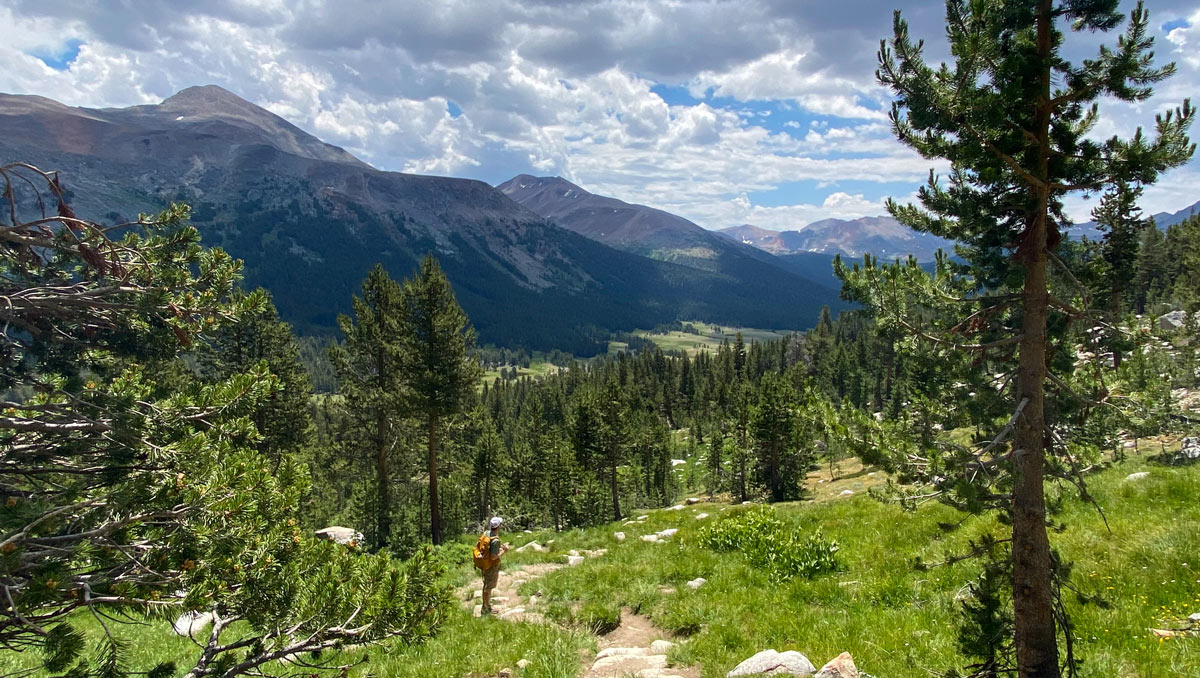
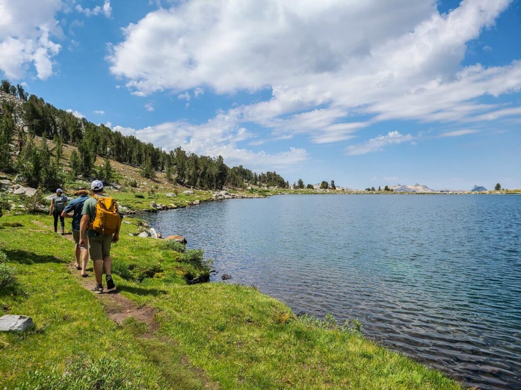
#3. Middle Gaylor Lake
Distance: 2.4 miles
Elevation Gain: 800 ft.
Best Time to Go: when Tioga Road is open. Check local conditions, as it’s usually closed November – May.
Trailhead: Directions. The small parking lot is rarely full.
While most other moderate Yosemite hikes have more mileage than Middle Gaylor, the entire elevation gain is within the first mile. It packs enough punch that you (and your glutes) will be left feeling like you just completed a much harder workout than 2.4 miles would suggest.
However, after the initial climb, you’ll quickly level off above the tree line to views unlike anywhere else in Yosemite.
Located out by the park’s east entrance, the trail provides a bird’s eye view of the rolling green meadows of Tuolumne Meadow below, before cresting the ridge to the stark high alpine beauty of Middle Gaylor Lake.
In the summer, hardy wildflowers dot the meadow on the far side, making a perfect spot for a snack overlooking nearby peaks, including Mount Lyell (the highest in Yosemite).
#4. Mariposa Grove Guardians Loop
Distance: 6.5 miles
Elevation Gain: 1,200 ft.
Best Time to Go: open year-round. However, Mariposa Grove Road is closed in winter, at which point the grove is only accessible via hiking, snowshoeing, or skiing. Check local conditions.
Trailhead: park at the Mariposa Grove Welcome Area and take the free shuttle to the trailhead. However, those with a disabled placard can drive as far as the Grizzly Giant parking.
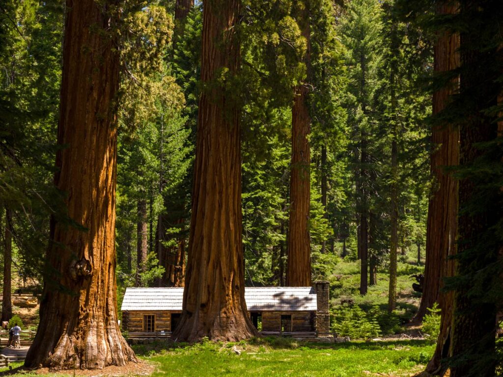
For those looking for a little more mileage in Mariposa Grove (beyond what’s listed in our beginner hikes), the Guardians Loop initially takes you through all the familiar favorites.
Once you get to the upper portion of the grove, continue on for another 1.5 mile loop. This takes you to the famed Wawona Tunnel Tree and Mariposa Grove Cabin.
#5. Sentinel Dome
Distance: 2.2 – 5.1 miles
Elevation Gain: 500 – 1,100 ft.
Best Time to Go: whenever Glacier Point Road is open. Check local conditions, as it usually closes in winter due to snow.
Trailhead: Directions. If the parking lot is full, park on the shoulder along Glacier Point Road.
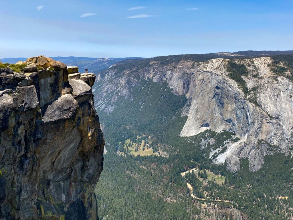
Of all the moderate Yosemite hikes, Sentinel Dome is best for “choose your own adventure.” You can either go straight out and back for 2.2 miles roundtrip, or add on additional mileage via the Pohono Loop or Taft Point.
Pohono Loop takes you back a different way for 3.9 miles total, while Taft Point adds an extra “tail” to the end of Pohono Loop for 5.1 miles total.
With every option depositing you back at the same trailhead, it’s easy for a group to hike to Sentinel Dome together, and then each choose their own route back.
Although Taft Point has 1,100 feet of elevation gain, the Sentinel Dome is relatively flat, and Pohono splits the difference at 850 feet gain.
#6. Tuolumne Grove
Distance: 2.7 miles
Elevation Gain: 630 ft.
Best Time to Go: when Tioga Road is open. Check local conditions, as it is usually closed November – May.
Trailhead: Directions. Park in the small Tuolumne Grove parking lot.
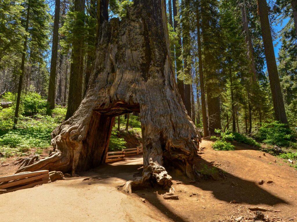
For a different, under-appreciated perspective of the park, explore the sequoias of Tuolumne Grove. Located close to the fork of Tioga Road, most visitors race by on their way to or from the Yosemite high country. If they only stopped, they’d find a serene, paved trail to a small grove of giant sequoias with a walk-through tree.
While Tuolumne Grove doesn’t have the same number of sequoias as Mariposa Grove, it’s still a great little trail to stretch your legs.
Note: the 500 feet incline is on the return, so don’t be deceived on your way into the grove!
Looking for more Yosemite hiking inspiration? Check out our recommendations for the best easy and hard hikes in the park!