Paddle boarding in Yosemite is absolute paradise. You can choose between the winding Merced River of Yosemite Valley, or the pristine alpine Tenaya Lake of the high country.
You’ll need to bring your own paddle boards from outside the park, and as in anywhere wild, always pay close attention to water levels and other safety measures. But with a little planning, paddle boarding Yosemite is a sublime experience you won’t soon forget.
Note: Yosemite requires reservations for entry at various points during the year, including summer peak season. Always check the current reservation requirements for the dates you plan to visit.
Jump to:
- Paddle Locations
- Best Time of Year to Paddle
- Are Rentals Available?
- Paddling the Merced River
- Paddling Tenaya Lake
Paddle Locations
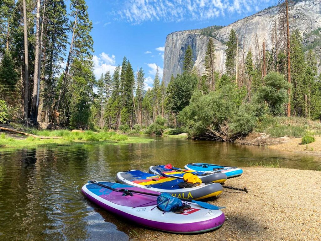
There are three route options for paddleboarding in Yosemite National Park:
- Merced River, all downstream: separate entry/exit points, launching on the east side of the valley and floating past Sentinel Beach, El Capitan, and Cathedral Beach. Paddle time: varies based on how far you go, between 60 – 150 minutes.
- Merced River, downstream and upstream: launch and take out at same location, either at Stoneman Bridge, Cathedral Beach, or Sentinel Beach. Paddle time: as long as you wish.
- Tenaya Lake: contained alpine lake. Paddle time: takes approximately 20 minutes across at the widest point, but you can easily pass 1 – 2 hours exploring the various inlets.
Best Time of Year to Paddle
Typically, the Merced River is safe to paddle by late May or early June once the spring snowmelt has subsided, while paddling Tenaya Lake is contingent on when Tioga Road opens for the year.
- Merced River: late spring – late fall, depending on water levels. June and July are best.
- Tenaya Lake: late May – November (when Tioga Road is open)
Are Rentals Available in the Park?
No. While Yosemite does rent rafts in the summer months, there are no kayak or paddle board rentals within the park. If you don’t own your own watercraft, the closest rental location is Bass Lake Boat Rental.
Paddle Boarding the Merced River
Jump to:
Overview: Merced River
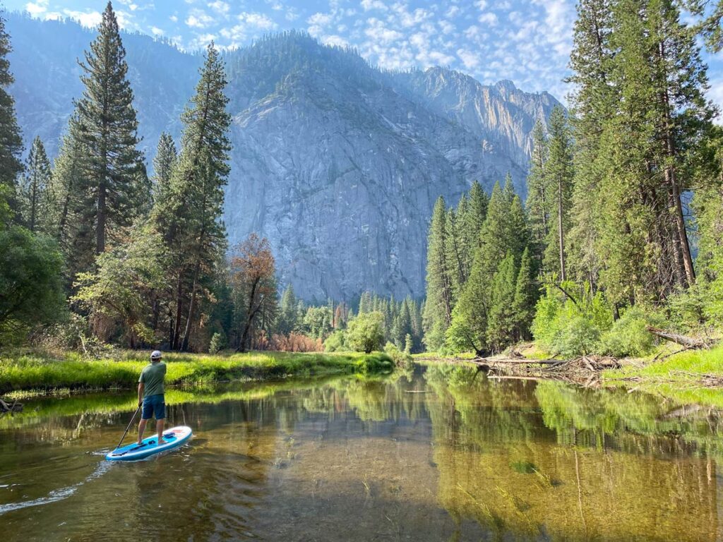
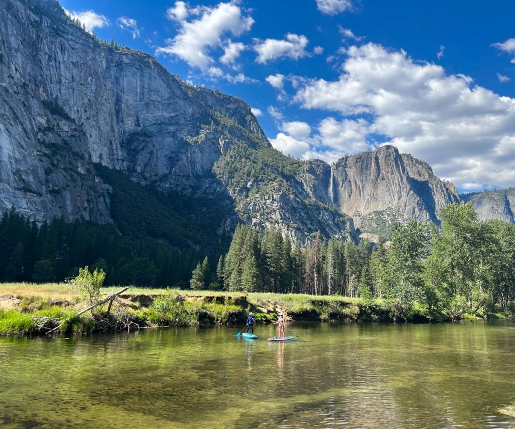
Paddleboarding the Merced River through Yosemite Valley is a seasonal activity for the warm months. In the spring, icy snowmelt creates unsafe conditions, with rushing speed and freezing water temps.
The river typically calms down by June, to allow pleasant paddling with minimal “riffles”.
In later summer (July to August), water levels drop lower. In most years, expect to have to portage your board a couple times during these months (typically a span of just 20 feet or so at a time), and beware of submerged rocks that could catch a fin.
Safety Note: Always check water conditions before entering, and ask a ranger if you’re unsure. Yosemite requires every person to have a personal floatation device (PFD) in reach on the board at all times. On any day that the water height is above 4 feet at Pohono Bridge at 8 a.m. (check here), PFDs must be worn.
Entry and Exit Points
The park has two designated Merced River access points:
- Stoneman Bridge
- Sentinel Bridge
Unofficially, you can also launch from either Cathedral Beach or Sentinel Beach.
Additionally, if you’re camping in Yosemite Valley (Upper Pines, Lower Pines, North Pines) you can launch from the riverbanks at the perimeter of the campground. However, parking is only available if you’re staying on-site, so launching from here is not advised otherwise.
Transportation, Staging and Parking at the Merced River
If you’re planning the downstream route through the valley, it’s easiest to have two cars, staging one at your end point before driving back to park the other at your starting point. You can also catch a ride on the free Yosemite Valley Shuttle between your entry and exit points, if you don’t have multiple cars.
If you don’t want to deal with staging multiple vehicles or catching the shuttle, you can also launch, paddle around, and take out at the same location. (Just remember: for how placid the water appears going downstream, you’ll have much more resistance than you think getting back upstream!)
Parking
Parking for Stoneman Bridge is best by Curry Village (directions here) or along the road as you can find it. Aim to drop off someone in your party at the bridge with your gear, before parking the car.
Sentinel Beach and Cathedral Beach also have designated parking lots (directions to Sentinel Beach and Cathedral Beach).
Sample Itineraries
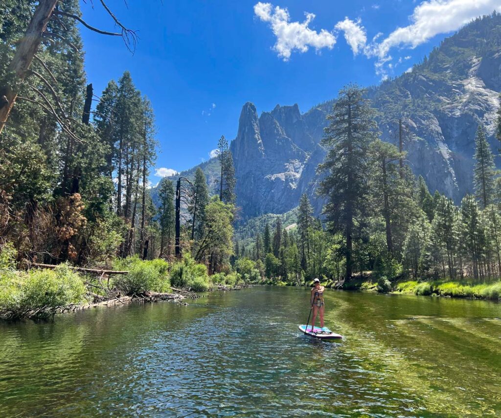
Once you’re on the Merced River, the route flows downstream to your chosen exit point. You’ll pass by the peaceful meadows and shaded groves of Yosemite Valley, with the option to break up your paddle by beaching on the banks of Sentinel Beach or Cathedral Beach for a snack or rest.
To see some of the most bucolic parts of the valley from the water, we recommend launching further upriver at Stoneman Bridge (or at the campsites). The scenery opens up further downriver, so starting further downriver at Sentinel Beach misses some of the more forested stretches.
Sample itineraries include:
- Launch: Stoneman Bridge. Exit: Sentinel Beach. Paddle time: approx. 45 – 60 min.
- Launch: Sentinel Beach. Exit: Cathedral Beach. Paddle time: approx. 30 – 45 min.
- Launch: Stoneman Bridge. Exit: Cathedral Beach/El Capitan Drive. Paddle time: approx. 150 min.
*Note: this exit point is “unofficial”, with a quick 10 foot scramble up the river bank to the road. Do so at your own risk, and be safe about it.
The 2 ½ hour Stoneman to Cathedral Beach/El Capitan Drive route is our personal favorite itinerary. You get the full scope of the valley, from the shaded pines upriver to paddling in the shadow of El Capitan down by the exit point.
Safety Notes
- Current: Gentle (during the summer months when paddling is allowed). The river has just a few spots with a sharper bend that creates faster flowing water, but nothing that isn’t navigable. The majority of the route remains placid during summer and fall.
- Submerged Objects: As with any river, the Merced generally has some submerged logs and rocks along the route. The water is clear enough to anticipate and steer around them, but always stay aware of your surroundings. Many rocks can appear deep enough, but still catch an unsuspecting SUP fin.
- Riffles: While there are no rapids during the summer, you’ll most likely experience some “riffles” (ripples too small to qualify as rapids, but enough to knock the balance off a less experienced paddler). If you feel more comfortable, simply drop to your knees to paddle through these spots.
- Share the River: With numerous rafting tours in the summer, expect to share the water with other groups of varying paddling experience.
Paddling Tenaya Lake
Jump to:
Overview: Tenaya Lake
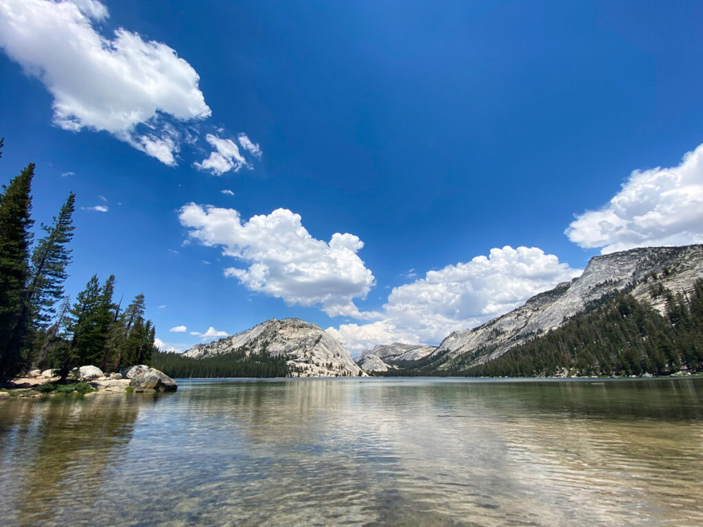
Paddle boarding the Yosemite high country is less complicated, as Tenaya is a self-contained high alpine lake of the traditional variety.
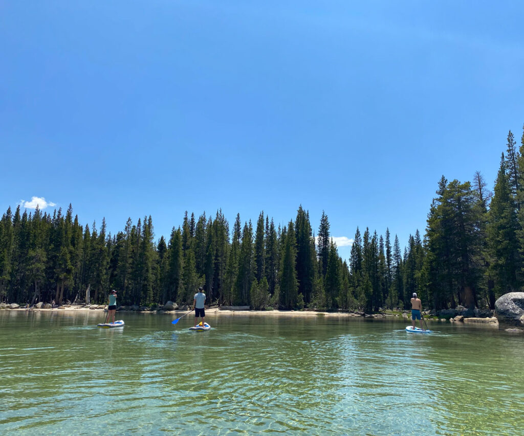
But, it is no less stunning to explore, and has lots of sandy inlets along its shores to beach up when you’re so inclined. The water makes for a refreshing dip in the heat of summer, and has a partly submerged rock in the middle of the lake that’s great for diving and jumping.
Note: Tenaya Lake is only accessible via Tioga Road, which is open seasonally. Accessibility typically runs from late May – November, but check the current road conditions ahead of your visit.
Parking at Tenaya Lake
There are a few small parking lots dotted around the lake, both at the Tenaya Lake Picnic Area (directions) and Murphy Creek Trailhead (directions).
Many people opt to just pull out along Tioga Road, but this will involve a slight scramble down the banks with your board.
Sample Itinerary
Paddling Tenaya Lake is a “choose your own adventure”. At its widest point, it takes approximately 20-30 minutes to cross the lake, but you can easily pass 1-2 hours hugging the shoreline and exploring all its nooks and crannies.
Facilities
Neither bathrooms nor food options exist at Tenaya Lake. Bring a picnic and enjoy lunch, either from the shaded banks or in the middle of the lake!
Have more time to spend in Yosemite? Check out our 3-day, 5-day, and 7-day itineraries for ideas on what to do out of the water.
