From pristine redwood forest to dazzling coastal panoramas, Redwood National Park has over 200 miles of trails to explore, with something for every age and ability level. This guide details the best Redwood National Park hikes, from short strolls to strenuous day treks.
Jump to:
Easy Redwood National Park Hikes
Fern Canyon Loop
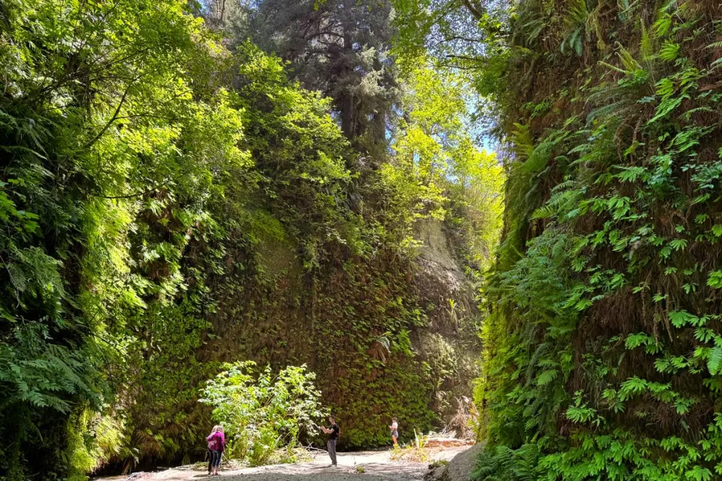
Distance: 1.1 miles roundtrip
Elevation Gain: 127 feet
Trailhead: Gold Bluffs Beach (directions) *you’ll need a day parking permit, which can be obtained here
Fern Canyon is one of the most iconic and unique photo spots in Redwood National Park. Here, Home Creek has carved a narrow gorge with 30-foot canyon walls, covered in lush green ferns and lichen.
The easiest hike to Fern Canyon is via Gold Bluffs Beach, where it’s a 1.1-mile roundtrip stroll via an easy footpath.
(You can also access Fern Canyon from the Prairie Creek Visitor Center, where numerous trail options converge at the gorge. However, these hikes have longer mileage, and are detailed in the moderate hikes and hard hikes sections below).
Lady Bird Johnson Grove
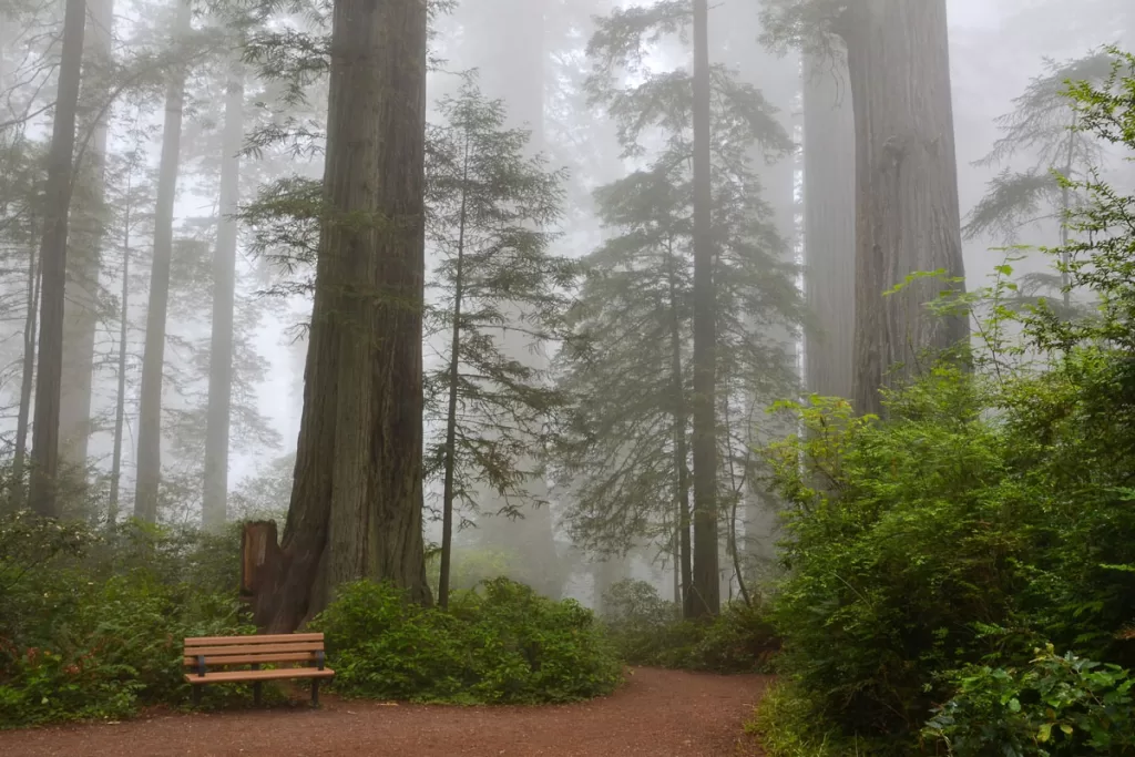
Distance: 1.4 miles roundtrip
Elevation Gain: 101 feet
Trailhead: Lady Bird Johnson Grove (directions)
Lady Bird Johnson Grove sits at the park’s higher elevation, which makes the forest less dense than the groves at lower elevation. Even still, it’s frequently one of the most popular trails in the park, being an easy stroll through an old-growth forest.
Stout Grove
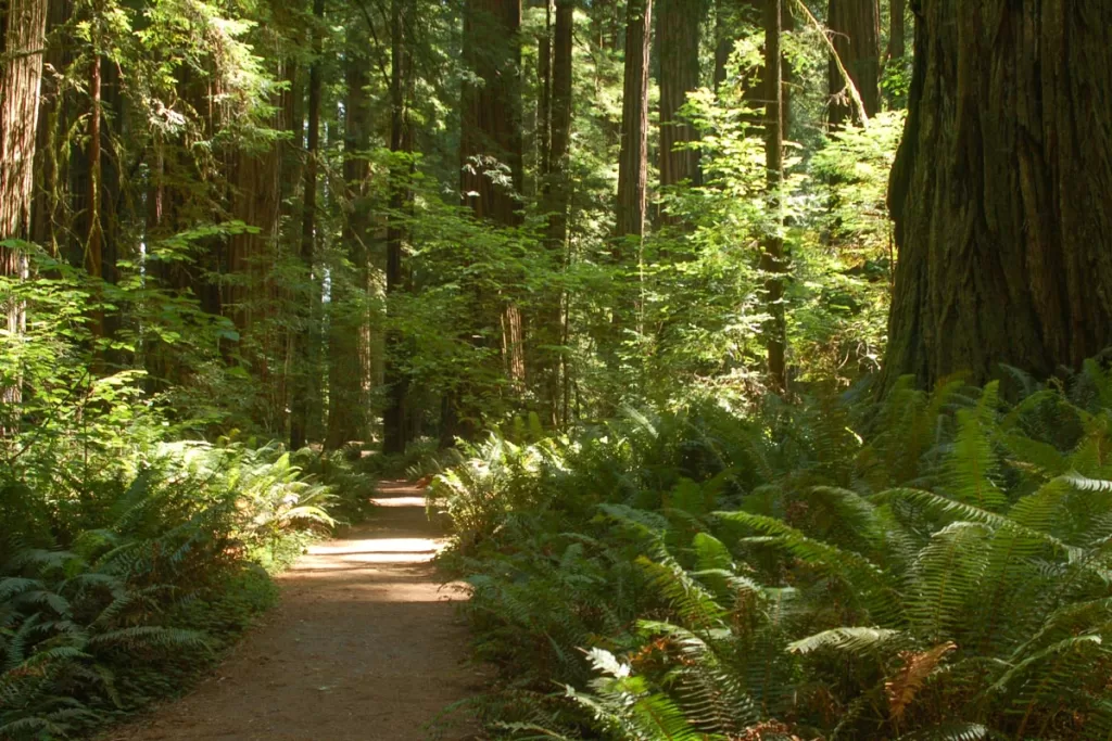
Distance: 0.6 miles roundtrip
Elevation Gain: 32 feet
Trailhead: Stout Grove (directions)
This short stroll is one of the top gems in Jedidiah Smith State Park. Bordering the scenic Smith River, the flat footpath meanders through rich old-growth forest. Along the way, you’ll pass fallen redwood trunks 15 feet in diameter, lush fern-carpeted forest floor, and perhaps even spot a banana slug or two.
Prairie Creek Nature Trail
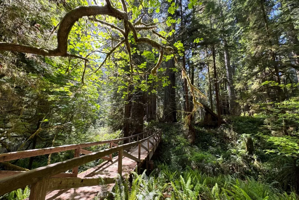
Distance: varies, starting at 0.9 miles roundtrip
Elevation Gain: 78 feet
Trailhead: Prairie Creek Visitor Center (directions)
Prairie Creek is one of the most visited of the park’s five visitor centers, and also serves as the trailhead for many of the most popular hikes in Redwood National Park. From here, you’ll have your choice of numerous paths, ranging from 0.9–11.5 miles roundtrip. But there are multiple options within the 1–3-mile distance, including the Big Tree and Cathedral Tree Loops.
Enderts Beach
Distance: 1.3 miles roundtrip
Elevation Gain: 173 feet
Trailhead: Coastal Trail – Last Chance Trailhead (directions)
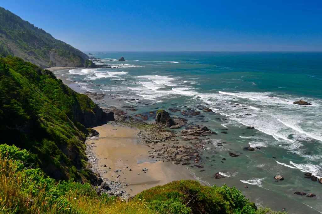
Enderts Beach is one of the best Redwood National Park hikes for ocean panoramas, which are as magnificent as the park’s old-growth forests. This is just one stretch of the larger California Coastal Trail.
Here, you’ll hug the bluffs for about 0.5 mile before dropping down to the beach. You’ll pass a picturesque sea arch, along with stunning coastal vistas and possibly even spot some local marine life.
Moderate Redwood National Park Hikes
Fern Falls via Boy Scout Tree Trail
Distance: 5.2 miles roundtrip
Elevation Gain: 951 feet
Trailhead: Boy Scout Tree (directions; you’ll need to street park along Howland Hill Road)
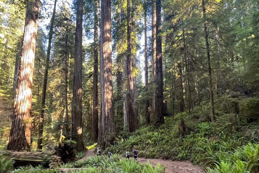
The Boy Scout Tree Trail is another of the most popular Redwood National Park hikes. It offers a textbook example of classic redwood forest, for those who desire slightly more mileage. You’ll wind along soft forest floor and gentle ridges, before the trail culminates at Fern Falls. While not a large waterfall, it’s still a peaceful little spot to rest and dip your toes, before making the return.
Hidden Beach and False Klamath Trail
Distance: 7.6 miles roundtrip
Elevation Gain: 1,148 feet
Trailhead: Klamath River Overlook (directions)
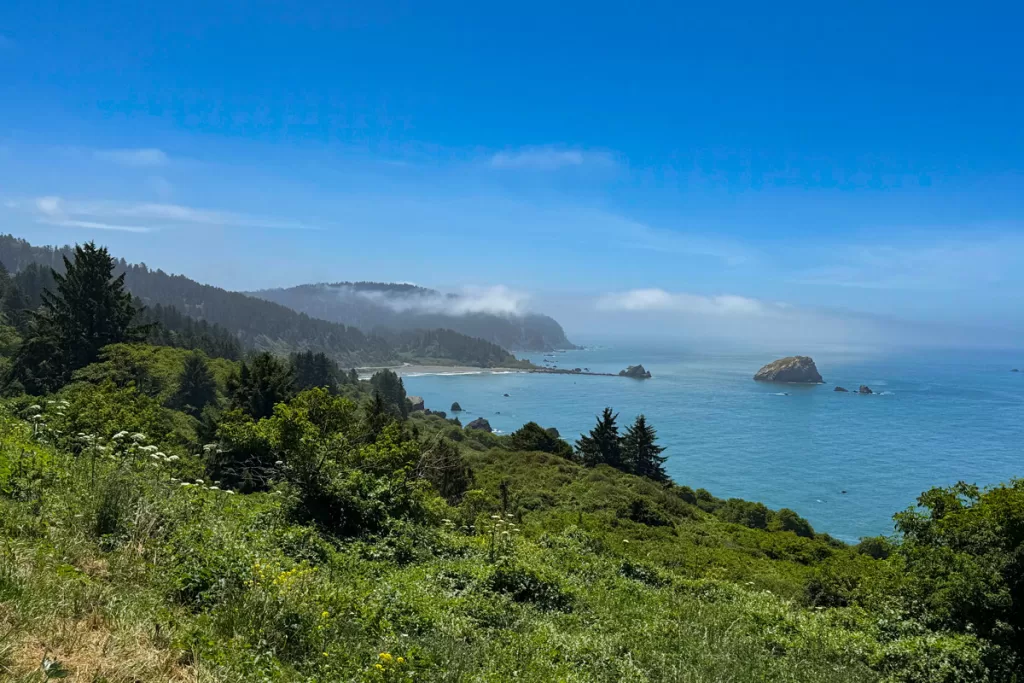
This is another, more southern stretch of the California Coastal Trail, with longer mileage than Enderts Beach. From the Klamath River Overlook, you’ll set off to the north, alternating between dreamy forest and ocean bluff panoramas, before dipping down onto Wilson Creek Beach, by False Klamath Cove.
Note: the trail can sometimes get just a bit overgrown in places, but we’ve never found it too bad.
Miner’s Ridge Trail and Fern Canyon from Gold Bluffs Beach
Distance: 7 miles roundtrip
Elevation Gain: 790 feet
Trailhead: Gold Bluffs Beach (directions) *you’ll need a day parking permit, which can be obtained here
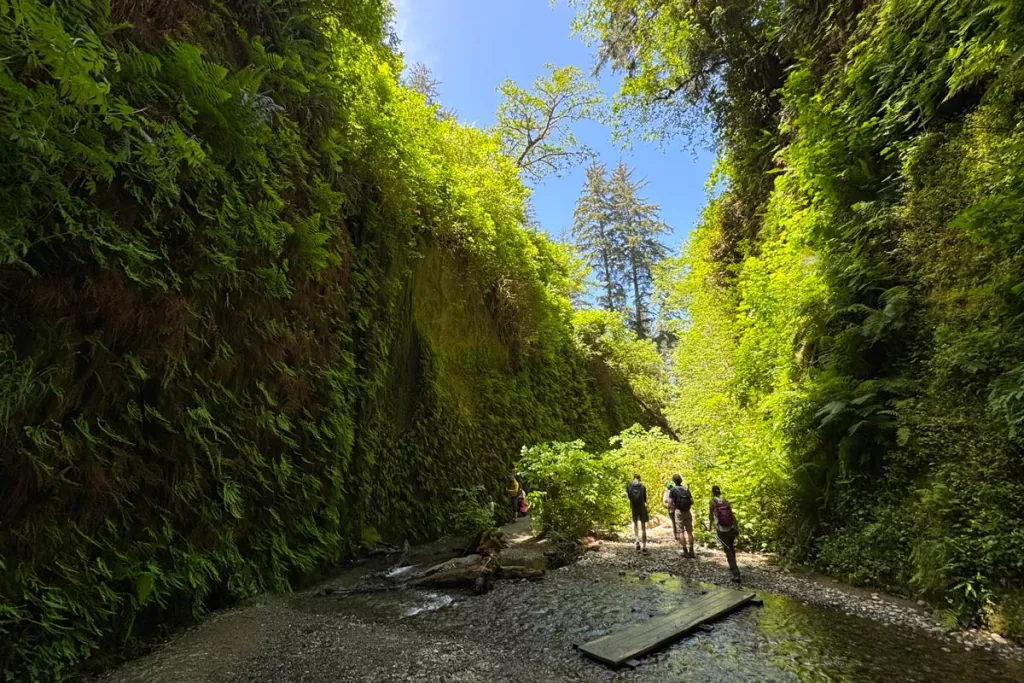
Fern Canyon (detailed above) is one of the most popular and photogenic spots in Redwood National Park. But if you’re itching for a longer adventure than the most direct route (which is a short 1.1-mile stroll), then Miner’s Ridge is a good bet.
This trail has a little bit of everything, allowing you to experience both coastal panoramas and old-growth redwood forest, all for less elevation gain than some of the other moderate and hard hikes on this list.
You’ll begin at Gold Bluffs Beach, before looping inland into ancient, primeval forest, through the verdant Fern Canyon, and back out to the ocean. The roar of the mighty Pacific, crashing on the beach, will appear even louder after being juxtaposed by the stillness of the almost cathedral-like redwoods.
Hard Redwood National Park Hikes
James Irvine Trail
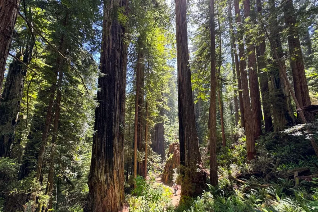
Distance: 10.3 miles roundtrip
Elevation Gain: 1,400 feet
Trailhead: Prairie Creek Visitor Center (directions)
There are multiple iterations of the James Irvine Trail, all of which start at Prairie Creek Visitor Center before culminating at the famed Fern Canyon (more on that above). From the visitor center, the most direct route to Fern Canyon involves a 10.3 mile out-and-back trek through ethereal, awe-inspiring redwood forest.
Alternatively, you can also tack on extra mileage via one of the different return loops, detailed below.
James Irvine and Miner’s Ridge Loop (11.5 miles)
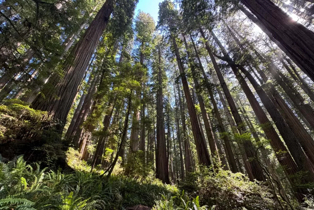
If you prefer a different viewpoint on the return, you can continue past Fern Canyon to Gold Bluffs Beach, walking along the coastal road for approximately 1 mile before connecting onto the Miner’s Ridge Trail back to your car (for 11.5 miles roundtrip and 1,475 feet elevation gain).
James Irvine, Friendship Ridge, and West Ridge Trail (13.2 miles)
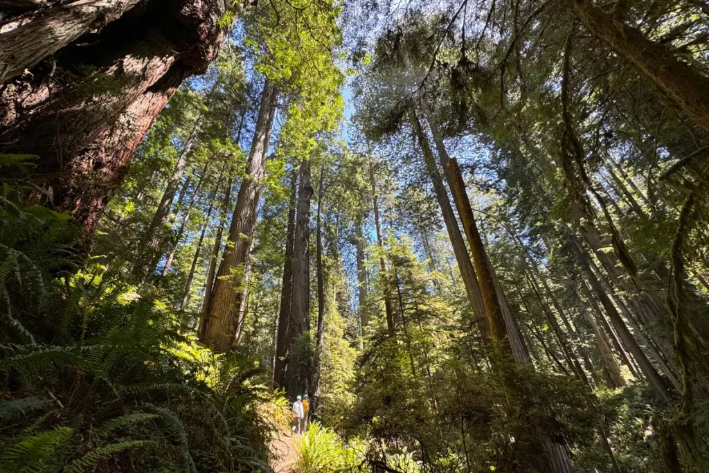
Or for even more mileage, take James Irvine out to Fern Canyon, before backtracking back up the way you came to the Friendship Ridge Trail. Turn north onto Friendship Ridge, before looping back to Prairie Creek Visitor Center via the West Ridge Trail. This burner is 13.2 miles roundtrip, with 2,200 feet of elevation gain.
Redwood Creek Trail
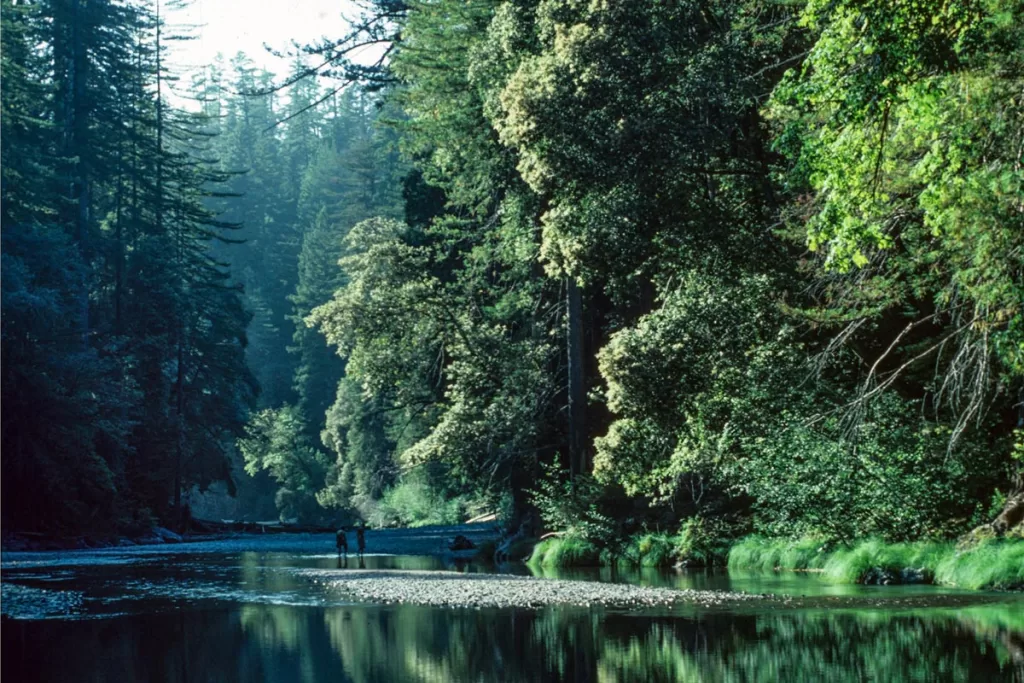
Distance: 15.4 miles roundtrip
Elevation Gain: 1,100 feet
Trailhead: Redwood Creek (directions)
Redwood Creek is one of the more popular long-distance hikes in Redwood National Park, as it also leads to coveted backcountry camping spots. As the name would suggest, you follow the peaceful Redwood Creek for the entirety of the trail. It’s a heavenly escape into serene backcountry that feels untouched by time.
Most of the forest immediately surrounding the footpath is deciduous, so those wanting to hike within concentrated redwood groves may prefer another trail. However, you’ll still see plenty of soaring redwoods blanketing the hillsides, and the route culminates in the majestic Tall Trees Grove, where you’ll get your fill of ancient redwoods.
Safety note: Bridges are in place over Redwood Creek between June – September each year. In the off-season, hikers must make multiple creek crossings, which oftentimes become impassible with winter storms and snow melt.
The first bridge is approximately 1.7 miles into the trail, which may be as far as you can go, depending on water levels. Always check current flow rates, and never attempt a water crossing during high water conditions. Remember, currents often look deceptively calmer than they are. If you’re unsure, talk with a park ranger before you start your hike.
Have more time to explore Redwood National Park? Check out our guides to the best things to do, camping spots, and places to paddle board or kayak.
